
Topographic Surveys in Newcastle: A Complete Guide for Your Project

If you're planning a construction or development project in Newcastle upon Tyne, a topographic survey is a critical first step. Accurate site data helps you design efficiently, avoid costly mistakes, and meet planning requirements with confidence.
In this guide, we’ll cover what topographic surveys are, why they’re essential in Newcastle, and how to choose the right surveying company.
What Is a Topographic Survey?
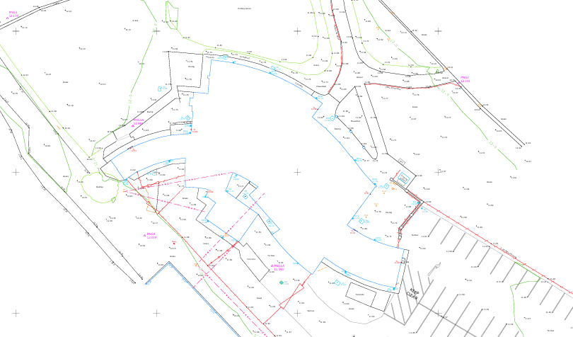
A topographic survey (or topo survey) is a detailed representation of a site’s natural and built features. It provides accurate measurements and mapping of:
Ground levels and contours
Buildings and surrounding structures
Roads, kerbs, and footpaths
Trees, vegetation, and landscape features
Drainage systems and visible utilities
Surveyors use advanced technology such as GPS, total stations, and 3D laser scanning to capture precise data, which is then turned into detailed plans for design and construction.
Why Topographic Surveys Are Important in Newcastle
Newcastle is a diverse and evolving city, combining historic architecture, urban density, and varied terrain. This makes accurate surveying essential for successful project delivery.
1. Varied Terrain and Elevation Changes
Newcastle’s landscape includes steep gradients, especially around the River Tyne. A topographic survey ensures accurate level data for safe and efficient design.
2. Urban and Historic Environments
Working in areas with listed buildings or dense city layouts requires precise measurements to avoid conflicts with existing structures.
3. Planning and Compliance
Newcastle City Council often requires detailed survey information as part of planning applications. A professional topo survey ensures your submission meets these standards.
4. Supporting Regeneration and Development
With ongoing development across Newcastle and the wider Tyne & Wear area, accurate site data is crucial for architects, engineers, and developers.
What Does a Topographic Survey Include?
A topographic survey in Newcastle typically includes:
2D DWG CAD drawings and PDF Files
Spot heights and contour mapping
Building footprints and structural features
Boundaries, fences, and walls
Drainage covers and visible services
Access routes and surrounding infrastructure
Outputs are usually provided in formats such as DWG, PDF, or BIM-compatible files.
Who Needs a Topographic Survey?
Topographic surveys are commonly required by:
Property developers
Architects and planners
Civil and structural engineers
Construction firms
Private landowners
From residential extensions to large commercial developments, topo surveys are a vital foundation for any project in Newcastle.
Choosing a Topographic Survey Company in Newcastle
Selecting the right surveyor can make a significant difference to your project’s success.
Local Experience
A surveyor familiar with Newcastle will understand local regulations, terrain, and planning expectations.
Advanced Surveying Technology
Look for companies using modern tools like laser scanners and GPS systems for maximum accuracy and efficiency.
Quality of Deliverables
Ensure you receive clear, detailed drawings that integrate seamlessly with your design workflow.
Fast and Reliable Service
Meeting deadlines is essential to keep your project moving forward.
Benefits of a Professional Topographic Survey
Investing in a high-quality topographic survey provides:
Accurate and reliable site data
Reduced design errors and rework
Smoother planning approvals
Better cost and risk management
Improved collaboration across project teams
Start Your Newcastle Project the Right Way
Whether you're developing a residential site, commercial property, or infrastructure project, a topographic survey in Newcastle gives you the clarity and confidence to move forward.
Partnering with an experienced surveying company ensures your project is built on accurate, dependable data from day one.