
Land & Measured Building Surveyors · Newcastle · UK-wide
Floor Flatness Surveys
Surveys undertaken to identify the flatness of the finished floor levels in a building or space — including screed levels for SR1, SR2 & SR3 classes, captured with 3D laser scanning.
- RICS guidelines as standard
- CIRIA SR1, SR2 & SR3 classes
- Constructionline & SSIP approved
- 5.0 on Google reviews
Overview
Assessment of surface regularity, using 3D laser scanning
Our surveyors at Project North Geomatics Ltd use the latest technology in 3D laser scanning to carry out our floor flatness surveys for assessment of surface regularity. These surveys are undertaken to identify the flatness of the finished floor levels in a building or space. The most common survey we undertake is the survey of screed levels for SR1, SR2 & SR3 classes, which is the standard set by the Construction Industry Research & Association (CIRIA).
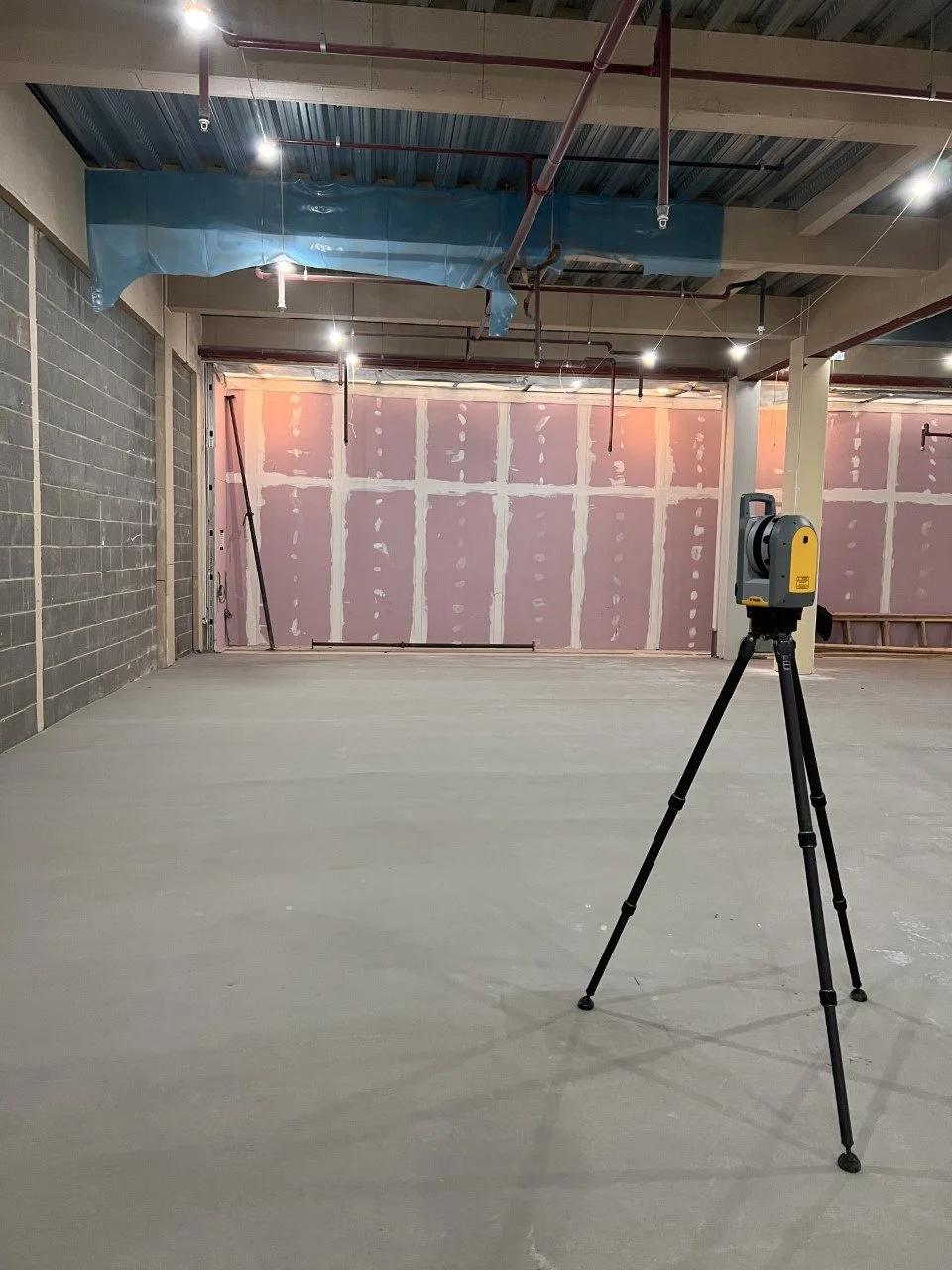
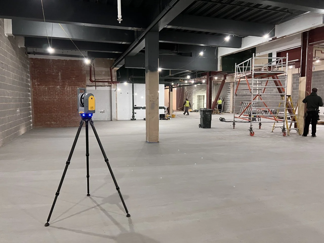
Floor flatness surveys often employ laser scanners as a crucial tool for accurate measurements. Laser scanners capture precise data by emitting laser beams that bounce off the floor surface and return to the scanner, forming a detailed point cloud representation of the floor’s topography. Laser scanners enable objective and efficient assessments, allowing construction professionals to identify and rectify any issues, ensuring optimal floor flatness for the intended purpose of the space.
-
Laser scanned capture
Laser beams are emitted, bounce off the floor surface and return to the scanner.
-
Thousands of points a second
The scanners capture thousands of points per second across the floor area.
-
A detailed point cloud
A comprehensive, three-dimensional view of the floor’s topography and flatness.
-
Flatness indices calculated
The collected data is analysed using specialised software, which calculates floor flatness indices.
-
Deviations identified
Any deviations or irregularities in the surface are identified so they can be rectified.
-
Reported to SR1, SR2 & SR3
Screed levels reported against the classes set by CIRIA, the most common survey we undertake.
Useful information
Floor flatness surveys, explained
What is a floor flatness survey?
Floor flatness surveys are an accurate representation of a floor area which is mapped using 3D laser scanning technology to produce detailed plans showing the flatness, levelness and any areas of abrasion and more.
Benefits & usage
Whether it’s a small residential project or a large scale industrial or commercial project, a floor flatness survey can show deviations in level across an area. A level floor is extremely important when using and operating Material Handling Equipment (MHE) — more and more logistics operations are using robotic equipment in commercial units which require level areas to run efficiently.
- Small residential projects
- Large scale industrial
- Commercial units
- Material Handling Equipment (MHE)
- Robotic logistics equipment
Procedure & deliverables
All our floor flatness surveys are carried out by fully qualified and competent surveyors, who all work subject to a rigorous quality control procedure. All surveys are carried out to RICS guidelines for that specific survey type as a standard, working alongside client specific specifications to meet all client needs and requirements.
- 2D or 3D AutoCAD drawingsThe floor flatness survey information will be provided in detailed 2D or 3D AutoCAD drawings.
- Digital PDF documentsDrawings are accompanied by digital PDF documents.
- Validated reportAll work is shown in a validated report with the findings of the survey, showing areas of no concern alongside any areas where improvement is required.
How much does a floor flatness survey cost?
The cost of a typical floor flatness survey can vary depending on many factors such as the size and scale of the building, whether or not the building is clear and accessible, the level of detail required for the survey and the format in which the survey needs to be delivered. We advise sending over some information about the site alongside any plans, photos or size of area in question for an accurate quote.
Screed classes
Floor flatness surveys for the assessment of screeds
Each class sets the maximum permissible departure from a 2m straight edge across a surface screed.
-
SR1
3mm
Maximum deviation
This class of survey is for special use floors and floors that need to be installed with high standards.
-
SR2
5mm
Maximum deviation
This class of survey is for normal standard floors commonly found in commercial premises and industrial settings.
-
SR3
10mm
Maximum deviation
This class of survey is for standard utility floors where deviations in surface level are less critical.
As specified by the Construction Industry Research and Association (CIRIA).
Next step
Get in touch if you have a requirement for a floor flatness survey on your next project.
Related services
View all services-
3D Laser Scanning
The technology behind our floor flatness surveys, capturing thousands of points per second.
View service → -
Topographic Surveys
Detailed survey of a site and its levels for construction, civils and architectural design.
View service → -
Measured Building Surveys
Plans, sections and elevations of existing buildings, inside and out.
View service → -
Volumetric Surveys
Measurement of stockpiles, voids and earthworks quantities on site.
View service →