Land & Measured Building Surveys in Carlisle
Project North Geomatics use the latest technology to carry out a range of surveys in Carlisle from Topographic Surveys (more commonly known as a topo survey), Measured Building Surveys, 3D Laser Scanning & much more! Using a wide range of equipment from GNSS & Total Stations to 3D laser scanners and drones we are able to produce fully comprehensive and accurate surveys. Our Surveyors take pride in their work and follow important quality control measures no matter the size of the project.
Land Surveying Services we offer in Carlisle:
-

Topographic Surveys
Project North Geomatics uses the latest technology to carry out our topographic surveys or more commonly known as a topo survey in Carlisle. Using a wide range of equipment from GNSS & Total Stations to 3D laser scanners and drones we are able to produce fully comprehensive and accurate topographic surveys.
-

Measured Building Surveys
Project North Geomatics uses the latest 3D laser scanning technology to carry all measured building surveys in Carlisle. With accuracy being the most important factor in any measured building survey, 3D laser scanners allow for the capture of highly detailed and highly accurate data resulting in the production of fully comprehensive Measured building surveys.
-

Utility Surveys
Project North Geomatics can carry out utilities surveys (sometimes referred to as GPR surveys) to aid your project in the accurate detection of buried assets for a range of uses in Carlisle. Utility companies provide service drawings for their infrastructure, however these are not always accurate and up to date so a utility survey helps capture up to date ground information.
-

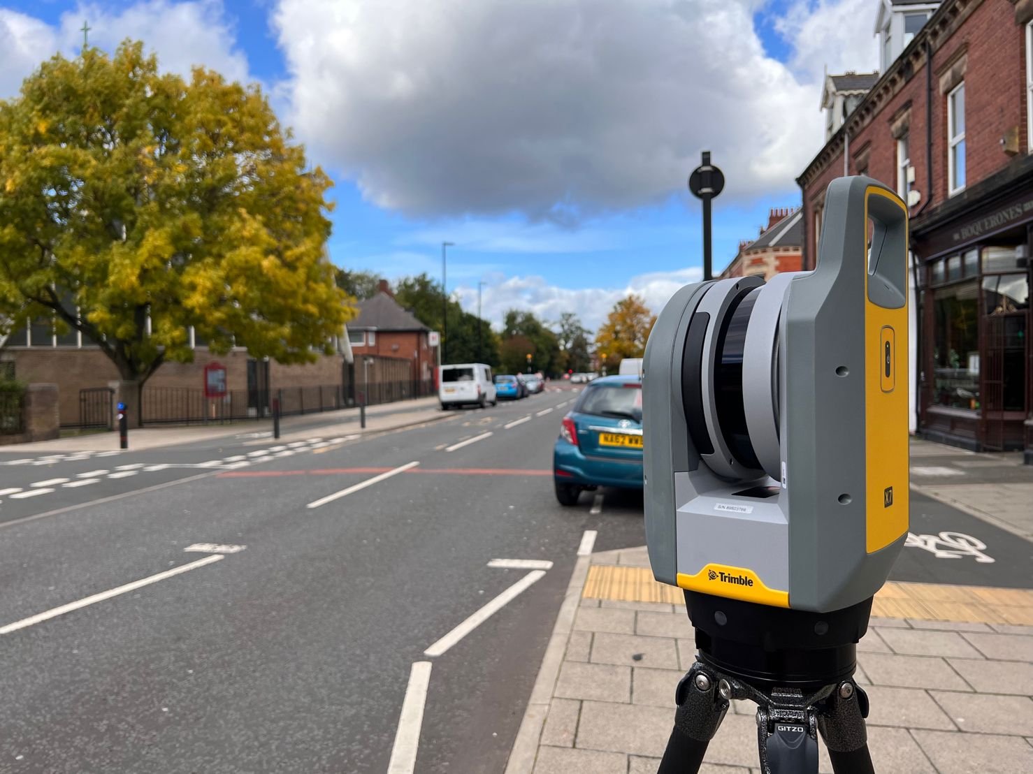
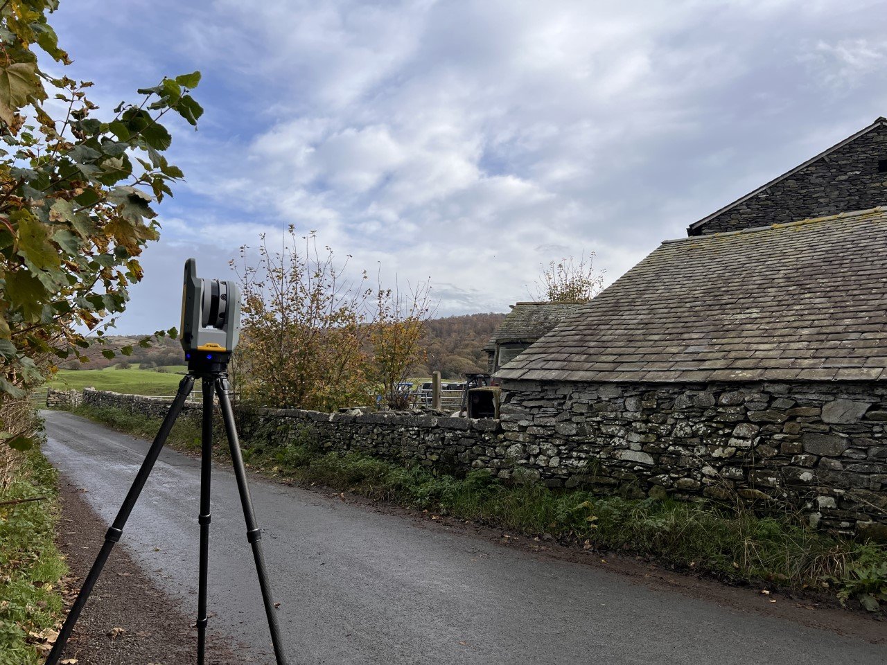
3d Laser Scanning
Project North Geomatics use the latest 3D laser scanning technology to carry all 3D laser scanning services and 3D data acquisition in Carlisle. 3D laser scanners allow for the capture of large quantities of data in a short period of time, optimising site time and data acquisition. 3D laser scanners provide the platform to capture highly accurate, detailed and dense 3D data resulting in the production of fully comprehensive 3D point clouds and 3D deliverables.