
Topographic surveys Newcastle Covering the UK
Topographic Surveys
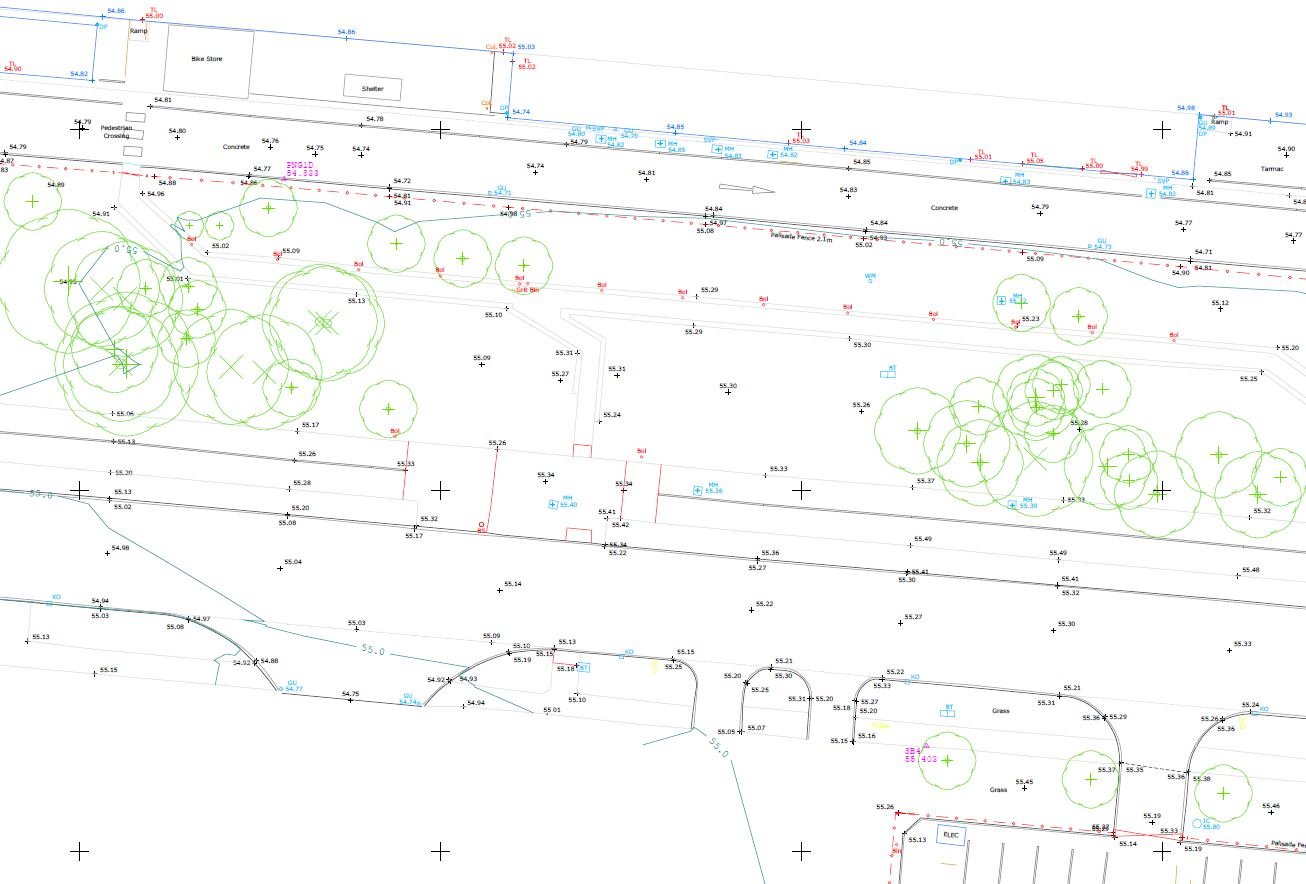
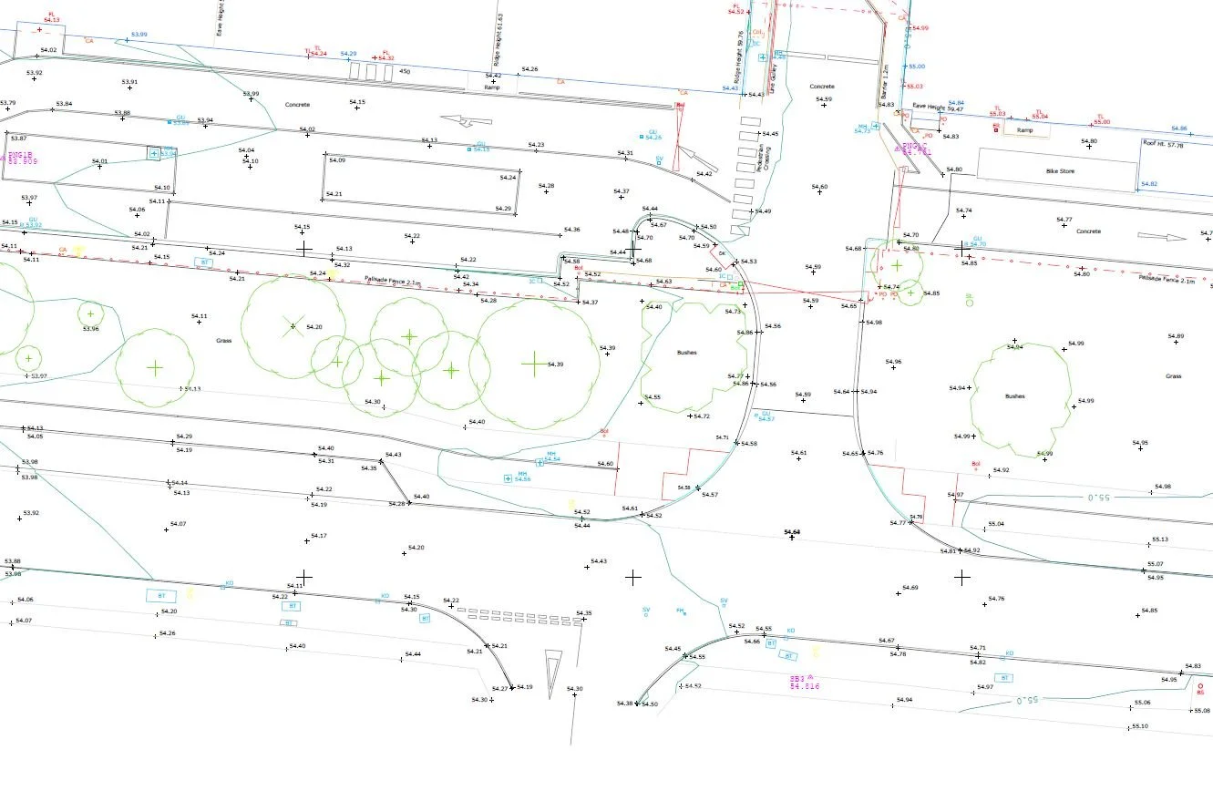
Accurate mapping of every man-made and natural feature on your site, with full ground profile and levels. Delivered as 2D or 3D AutoCAD drawings, surveyed to RICS guidelines.
Overview
The base layer every project starts from
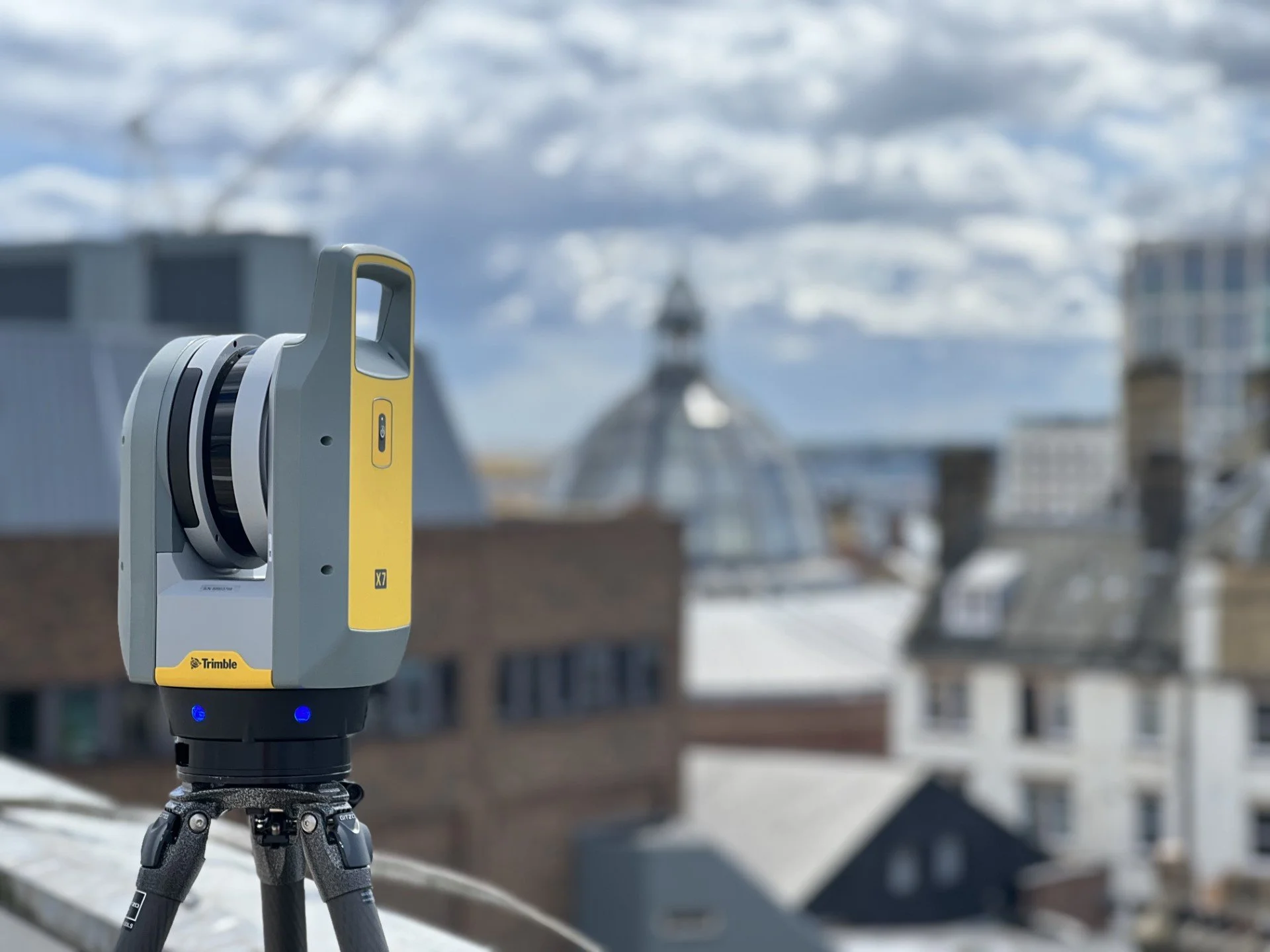
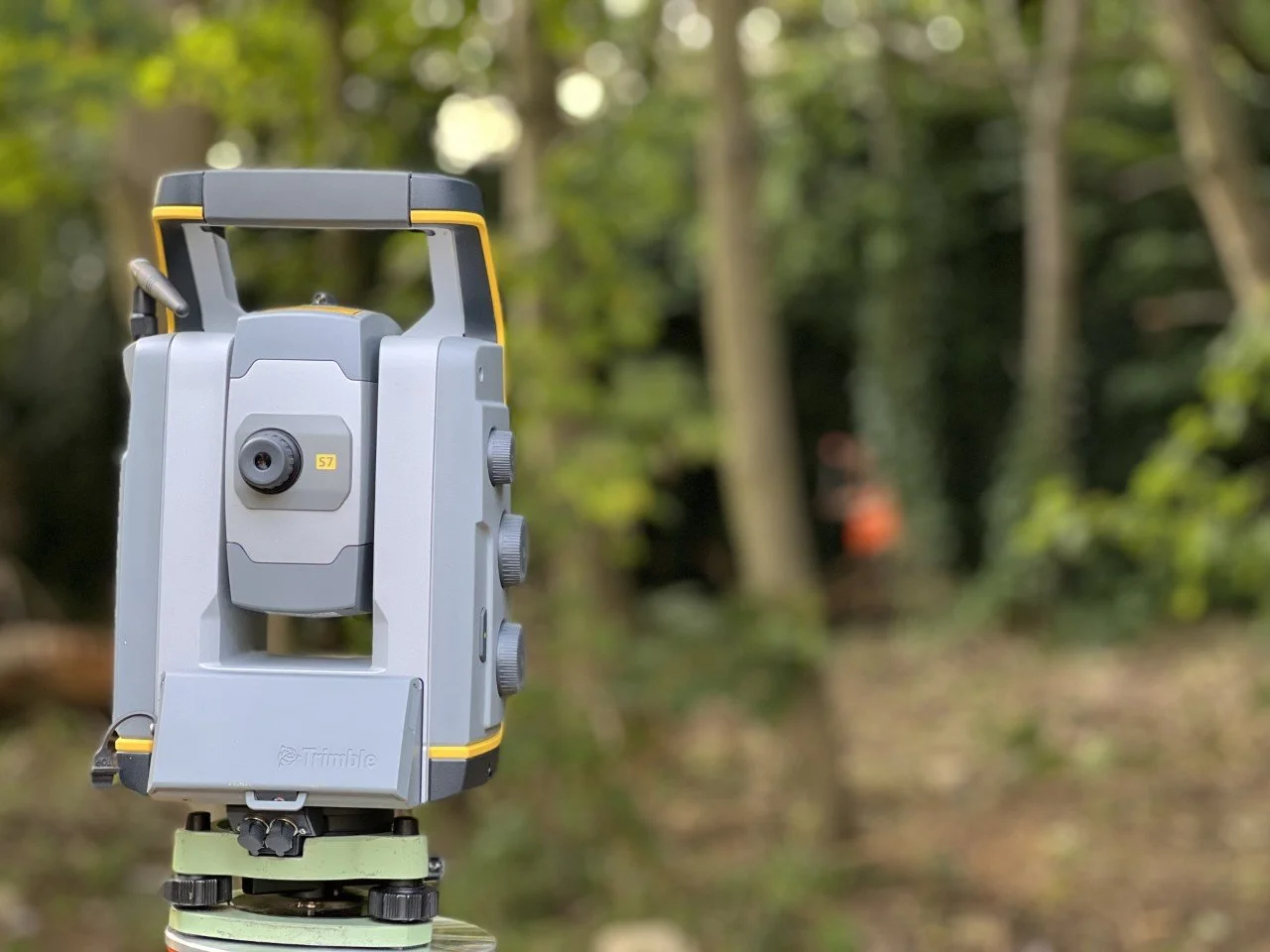
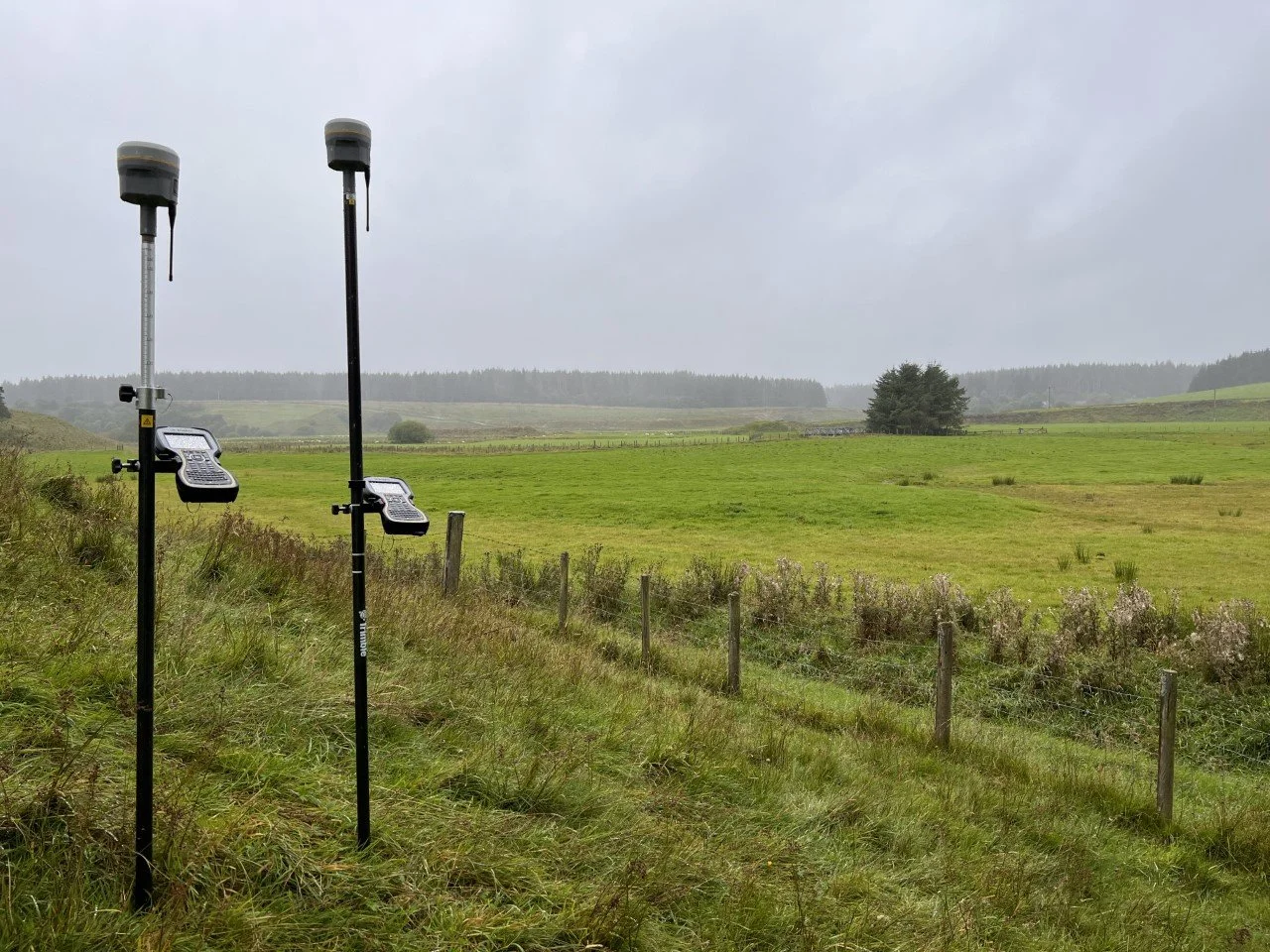
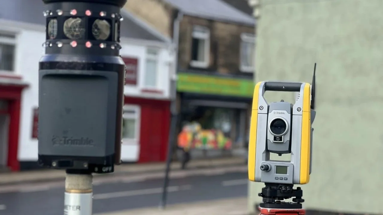
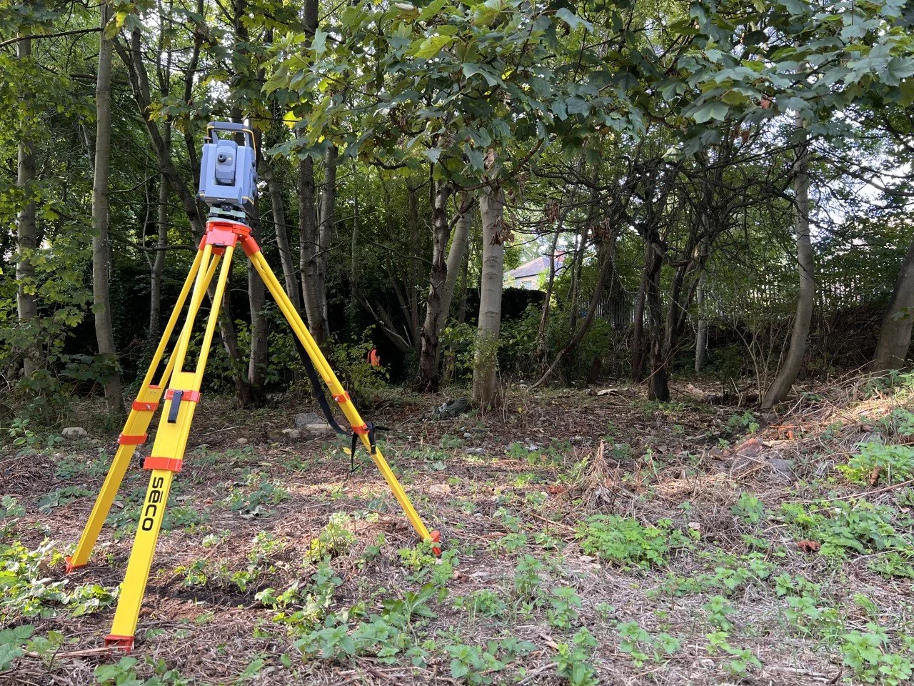
At Project North Geomatics we use the latest technology to carry out our topographic surveys, or topo surveys as they're more commonly known. Using a wide range of equipment from GNSS and total stations to 3D laser scanners and drones, we produce fully comprehensive and accurate topographic surveys. Our surveyors take pride in their work and follow rigorous quality control measures no matter the size of the project.
What sets our topographic surveys apart is our commitment to precision. Using advanced surveying techniques and cutting-edge equipment, we capture detailed topographical information including elevations, contours and ground features. Whether you're planning a construction project, land development or environmental analysis, our topographic surveys provide the foundation for success.

Why us
Key features of our topographic surveys
Six things you can count on from every survey we deliver, from a single plot to a multi-hectare site.
Accurate Mapping
Our experienced surveyors meticulously map the terrain to provide you with precise data essential for project planning and execution.
Comprehensive Land Analysis
You gain valuable insights into the landscape, identifying potential challenges and opportunities for your project.
Trusted Surveying Specialists
Our dedicated surveyors are highly skilled, with a proven track record of delivering top-quality topographic surveys across many industries.
Informed Decision-Making
Armed with detailed topographic data, you can make well-informed decisions that streamline your project's progress and lead to successful outcomes.
Tailored Solutions
Every project is unique. Our topographic surveys are customised to meet your specific needs, ensuring you get exactly the data you require.
Cutting-Edge Technology
We use state-of-the-art surveying equipment and software throughout, guaranteeing reliable and accurate results.
Useful information
Topographic surveys, explained
What they are, why they matter early in a project, and exactly what lands in your inbox at the end.
What is a topographic survey?
Topographic surveys, sometimes known as topo surveys, are carried out by surveyors and are an accurate representation of an area of interest. They map and measure all man-made and natural features — site boundaries, buildings, roads, utilities, trees, walls and rivers — along with any relevant information surrounding the site, while capturing an accurate land profile and all relevant site levels.
Benefits & usage
Whether it's a small residential project or a large-scale industrial or commercial one, a topographic survey is a vital part of the early planning phase. As an accurate representation of all site features and levels, topo surveys are used by architects, planners and engineers to design and plan for the best possible outcome:
All of the above are vital parts of the design stages. A topographic survey provides the base for all design and planning work at the beginning of and during the construction phase — and the main benefit is that it helps reduce costly errors across the whole project life cycle.
Procedure & deliverables
All our topographic surveys are carried out by fully qualified and competent surveyors, working to a rigorous quality control procedure. Every survey is carried out to RICS guidelines for that specific survey type as standard, alongside client-specific specifications to meet your requirements.
Our work
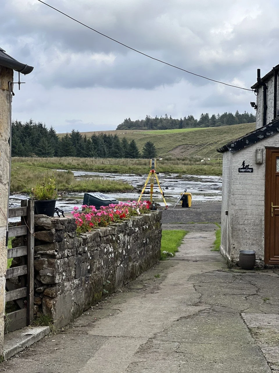
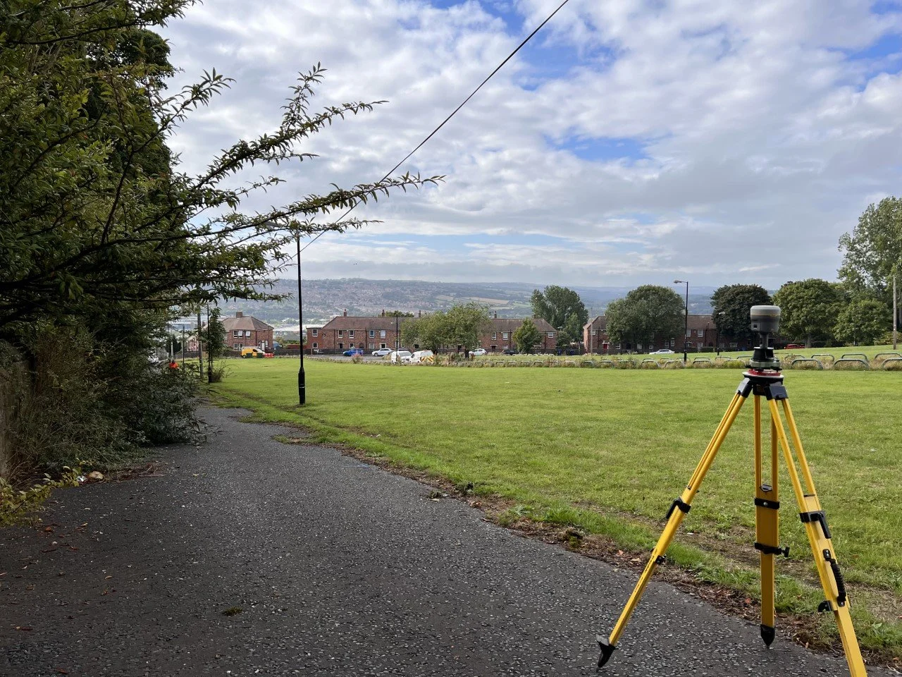
Topographic surveys on the ground
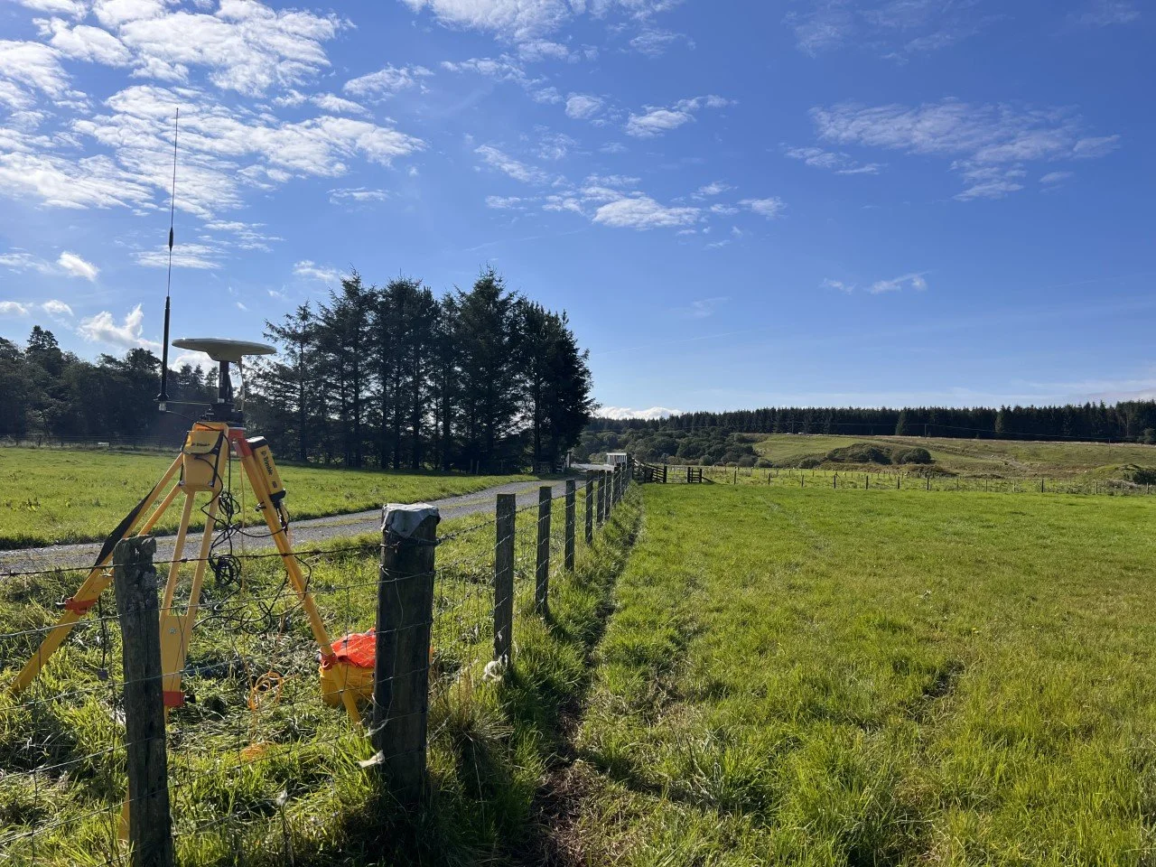
A selection of recent topographic survey work across the North East and beyond.
Get started
Need a topographic survey quoting?
Send us your site location and what you need the survey for, and we'll come back with a competitive quote — usually the same day. Newcastle based, covering the whole UK.
Request a QuoteRelated services