
What we do Newcastle Covering the UK
Land & Building Surveying Services
Specialist topographic, measured building, 3D laser scanning, BIM and utility surveys for construction, civil engineering and architectural clients. Quotes back fast, deliverables on time.
Our services
Surveys delivered to brief, on time
A complete range of land and measured building surveys, delivered to RICS guidelines and tailored to your project specification.
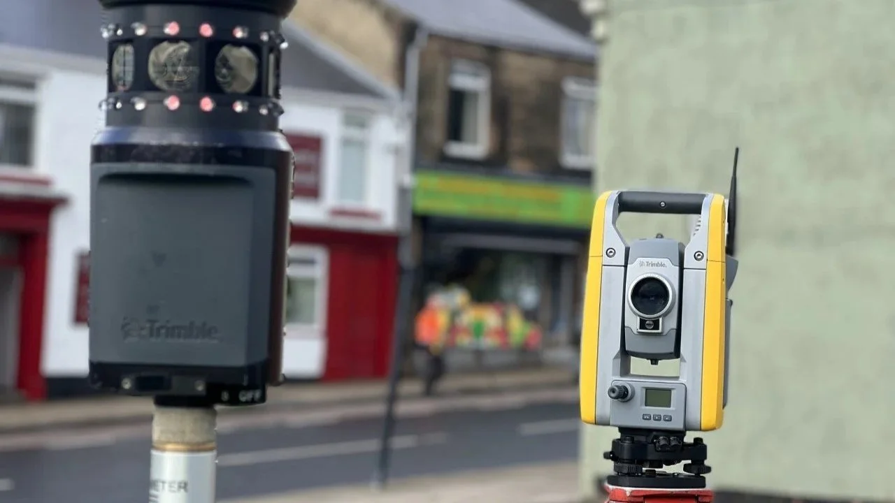
Topographic Surveys
Accurate topographic surveys of land, sites and existing features for planning, design and construction. Delivered as CAD-ready drawings to your layer standards.
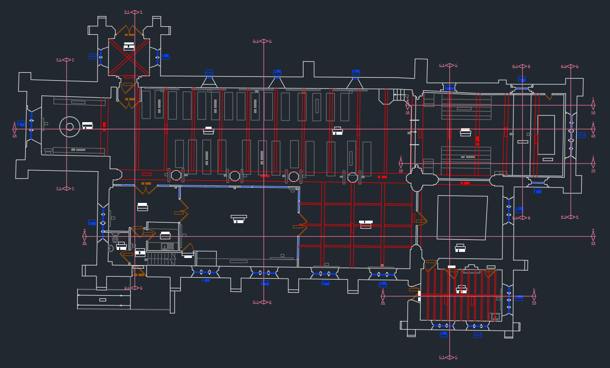
Measured Building Surveys
Detailed floor plans, elevations and sections of existing buildings captured to millimetre accuracy.
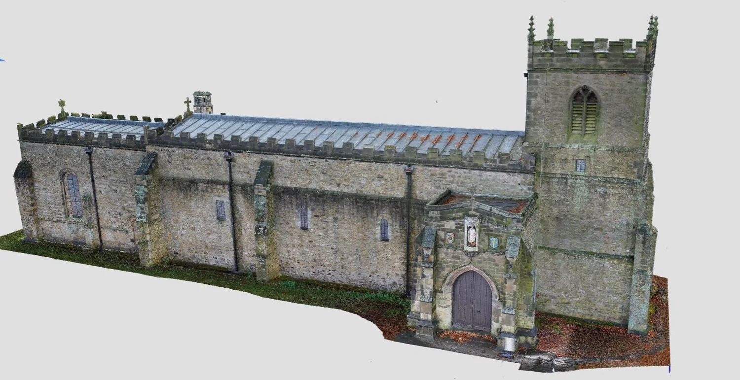
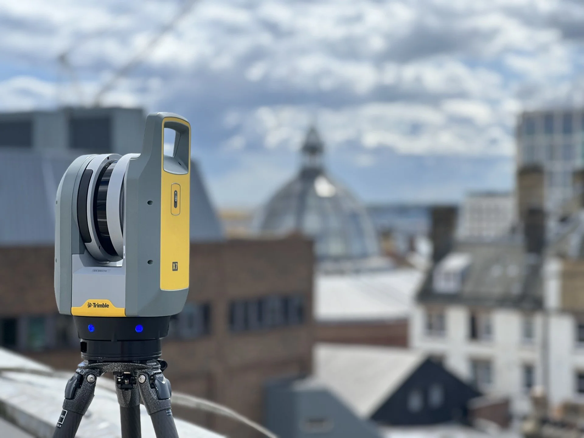
3D Laser Scanning
High-precision 3D point cloud capture using terrestrial laser scanners. Ideal for complex structures.
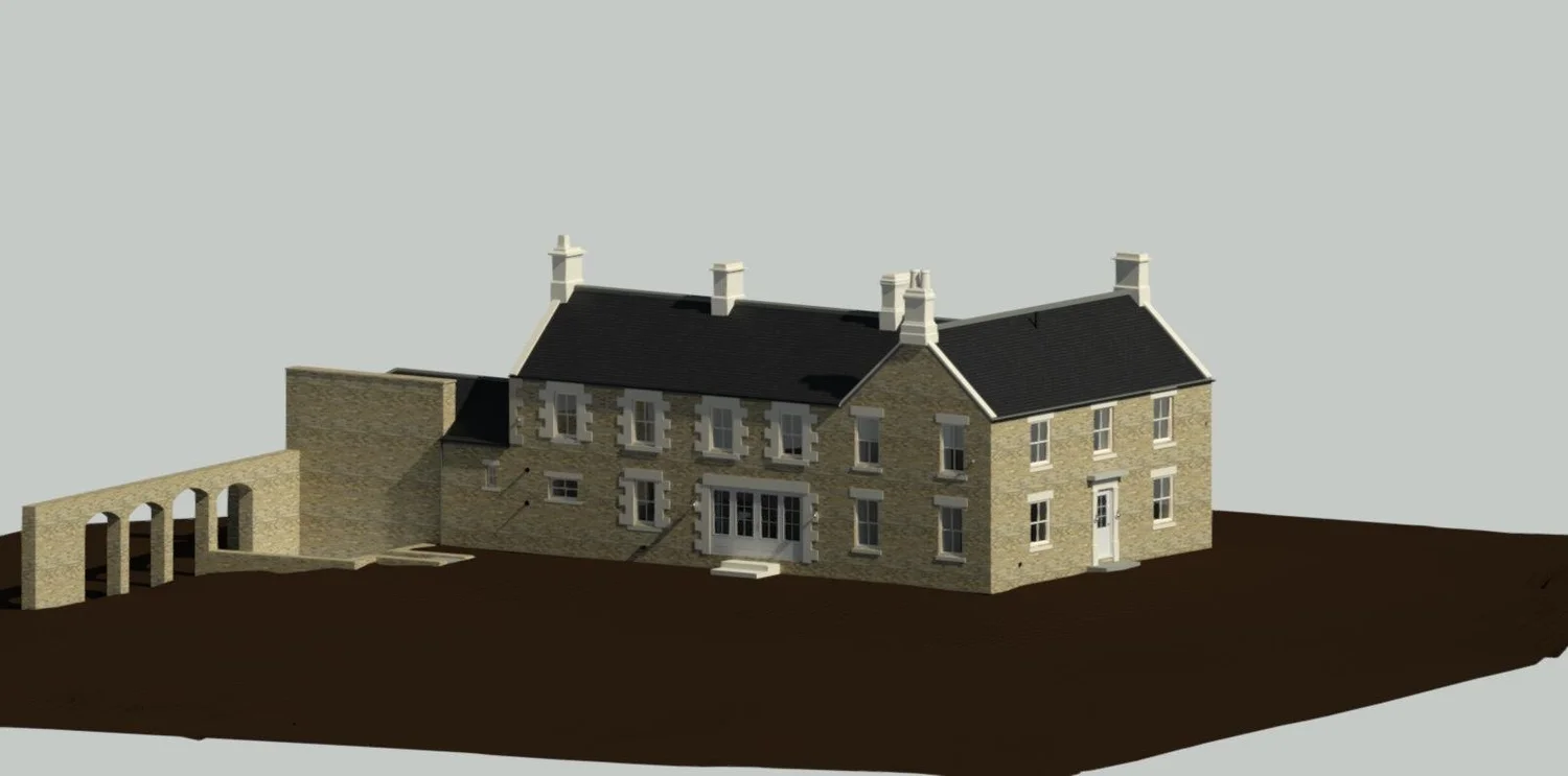
3D Modelling & BIM
Revit and CAD-ready 3D models from survey data. Full BIM deliverables to your LOD requirements.
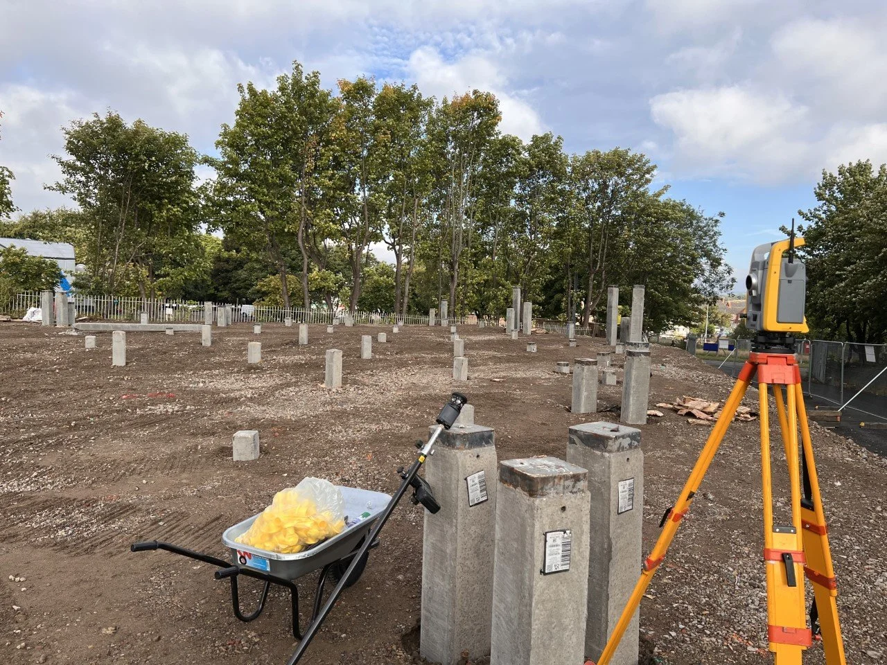
Setting Out
Site setting out for construction and civil engineering. Working from drawings to on-site control points.
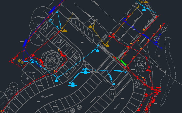
Underground Utility Surveys
Utility detection and mapping using GPR and EM. PAS 128 compliant Type B and C surveys.

Volumetric Surveys
Stockpile and earthworks volume calculations using drone and ground-based survey data.
Floor Flatness Surveys
FM2 and FM3 floor flatness and level surveys. Compliance reporting for warehouse and industrial floors.

Drone Surveys
CAA-approved drone surveys for topographic, volumetric and aerial mapping work. Fast site capture.
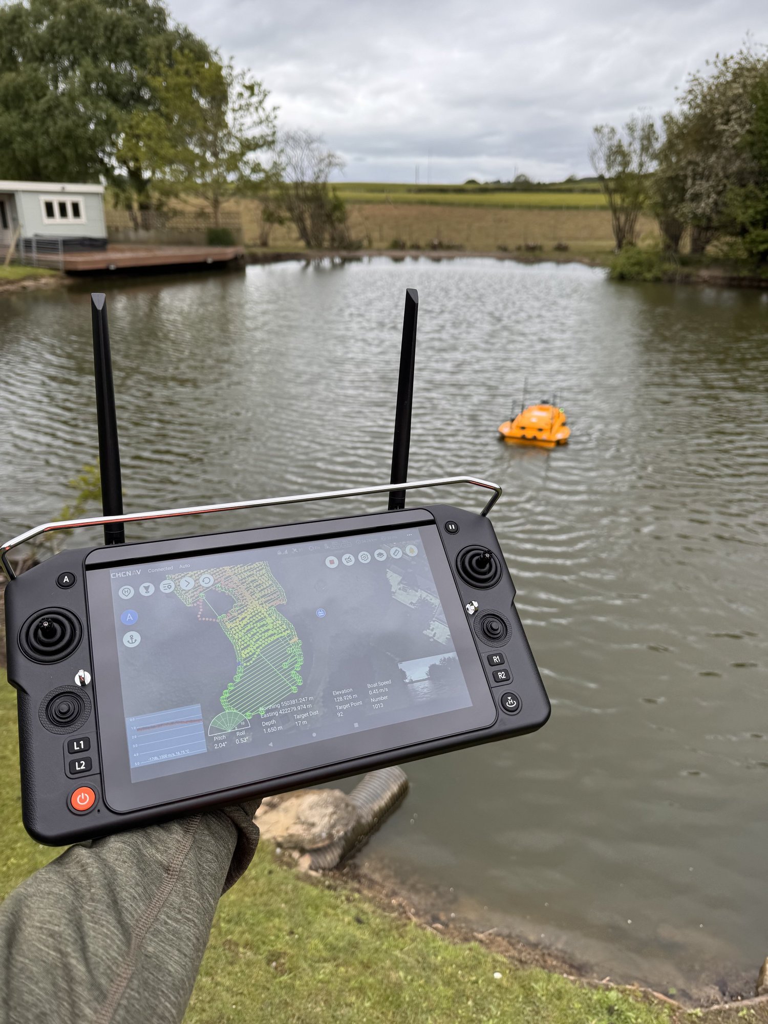
Bathymetric Surveys
Underwater depth and seabed mapping for ports, reservoirs, lakes and rivers using remote-controlled boats.
Why work with us
Trusted by clients across the UK
Newcastle based, covering the whole UK. Every survey uses calibrated equipment and qualified surveyors, with deliverables that drop straight into your design workflow.
We follow the RICS guidelines for measured surveys of land, buildings and utilities (3rd edition), so what you get back is consistent, checked and ready to build from.
5.0 Google rated
Consistent 5 star feedback from architects, engineers and contractors.
Nationwide coverage
From Newcastle to Edinburgh, Carlisle to Leeds, and everywhere in between.
Accredited
Constructionline Approved and SSIP Approved for confidence on site.
Quotes back same day
Send us your brief and we will reply with a competitive quote.
Sectors
Industries we serve
From healthcare and education estates to civil engineering and renewable energy sites. We work across every sector that needs accurate spatial data.
Custom requirements
Can't find what you need?
Got a specialist survey requirement not listed above? Drop us a line. We handle one-off and bespoke briefs across the UK and will always come back with a clear, honest quote.
Contact UsMonitoring Surveys
Structural movement, ground stability
As-Built Site Surveys
Verification against design drawings
Manhole & Drainage Surveys
Full mapping of drainage assets
QA Surveys
Independent quality verification